 According to Sputnik reports, the U.S. Navy has positioned underwater drones below the Arctic Ocean’s ice to evaluate the speed of ice melting. Thus the Navy will come to the conclusion about the time when the U.S. and Russia will be in rivalry for regional strategic waterways. The drones will show both the temperatures and salinity and that will assist scientists who survey the environment to invent more precise models for forecasting the future melting rates.
According to Martin Jeffries, science advisor to the Office of Naval Research, the measurements provided by the drones enable the scientists to create precise computer programs that determine the expected future degree of melting ice. In addition, the projects are also intended to cope with security propositions of the process of opening up of the Arctic waters, as mentioned in the Navy's Arctic Roadmap, made more contemporary in 2014.
That also includes adaptation to the unstable Arctic surroundings. In the words of Martin Jeffries, the plan which includes the period 2014-2030, also suggests about growing the ships’ number in the region.
Russian President Vladimir Putin's current aggressive position in Ukraine has made the research more urgent because the Russian navy also has intentions to grow the number of its regional ships. The increase of the Arctic Ocean waterways increases the speed and provides more widespread routes for Russian ships to North America. The reduction of the ice mass in the Arctic will provide more regional waterways, shipping routes and open water.
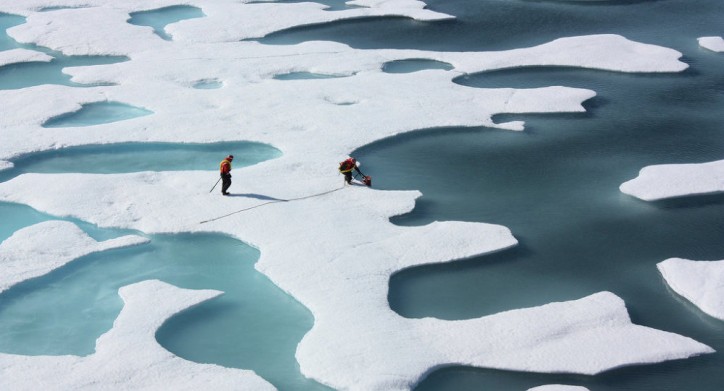
The increase of the open water will consequently cause more maritime transportation and will increase the rivalry for environmental resources as for example gas and oil mining. Thus, as Jeffries further comments, the Navy scientists are exploiting drones or unmanned underwater autonomous robots, to investigate the borderline ice zone-the area of ocean’s frozen bundled ice that borders open water.