

 Satellite AIS
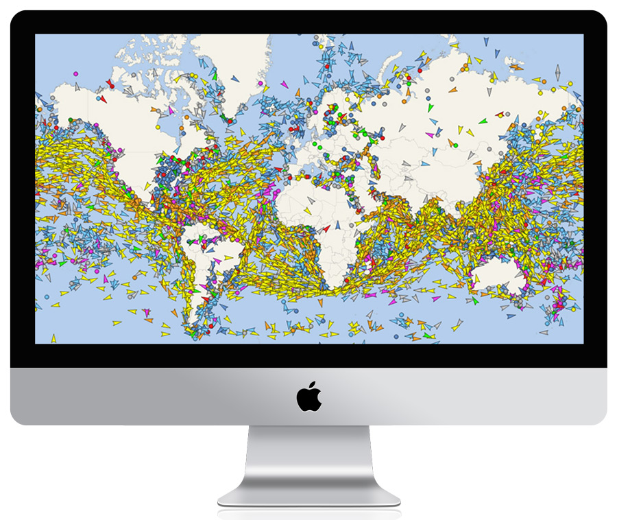
monitor the global picture of the world maritime traffic
-
 Unlimited global coverage
Access to undelayed Satellite position data for any ship in the world. -
Unlimited number of tracked ships
No limits оn the number of tracked ships via Satellite and Terrestrial AIS network.
Satellite AIS provides up-to-date vessel positions in the most remote areas of the world, especially in the open oceans and beyond the reach of terrestrial AIS networks.
By combining data from Satellite AIS, Terrestrial AIS, and Vessel AIS networks, we deliver a comprehensive picture of global maritime traffic. Our coverage integrates satellite observations, thousands of terrestrial AIS stations, and additional AIS data collected by vessel-based AIS receivers.
Vessel positions are regularly updated from these multiple sources, with update intervals ranging from a few minutes to several hours depending on vessel location and AIS coverage. On average, 90% of vessel positions have a latency of less than one hour.
For more information or an alternative payment method, feel free to contact us.