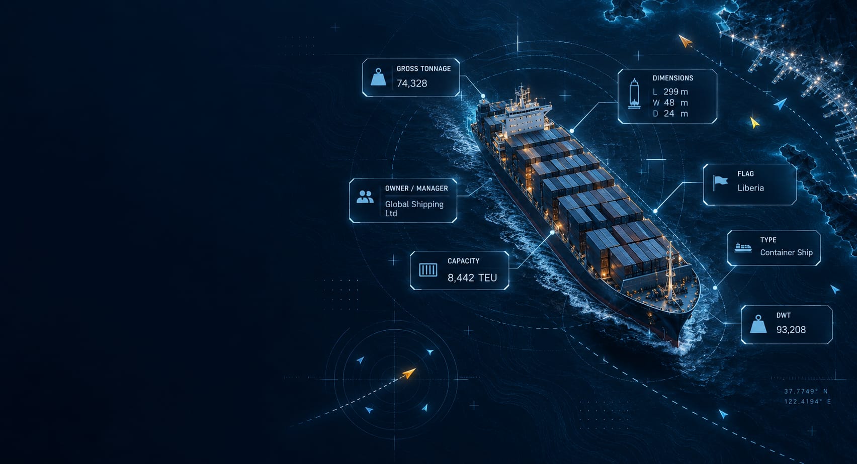
Real-Time AIS Data API
VesselFinder decodes raw AIS messages from its terrestrial AIS network into structured JSON. The Live AIS API returns the vessels, ports or areas you request, in a fixed response format, ready for your GIS applications, dashboards and analytics tools.





API Coverage Map
The map highlights areas where real-time vessel positions are available through nearby terrestrial AIS receivers.
Vessels in these areas are expected to have up-to-date position data. Coverage may vary depending on range, geography, and weather conditions.
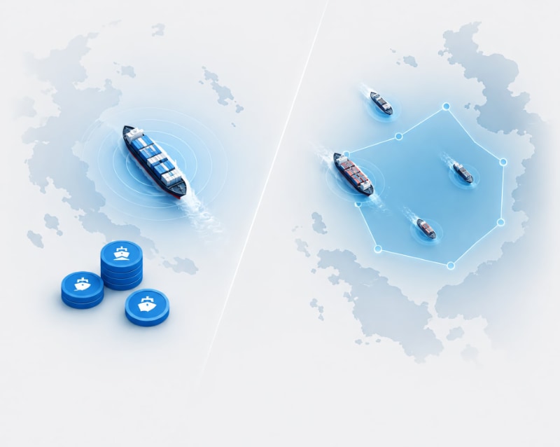
Two ways to buy
One question decides it: do you need the same data continuously, or only when your system asks for it?
Credit-based services - Vessel Positions, Vessel Particulars, Port Calls, Expected Arrivals and Route Planner.
Buy a package of credits and spend them across any of these. You are charged per record returned, not per request, so a request that returns nothing costs no credits. Credits are valid for 12 months, and every new purchase resets the expiry across your entire balance.
Subscription services - Fleet Positions and Vessels in Custom Area.
A flat monthly fee for continuous access to a fleet or an area you define once. Nothing is metered per request. The fee depends on fleet size or area size and traffic, the datasets included, and how often you call.